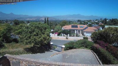
Kouga Local Municipality › Wschód
![]() Kouga Local Municipality, Republika Południowej Afryki
Kouga Local Municipality, Republika Południowej Afryki
Welcome to the live streaming webcam for Kouga Local Municipality › Wschód, perfectly situated in the vibrant region of Kouga Local Municipality, Republika Południowej Afryki. Watching this live camera allows you to instantly experience the local atmosphere and monitor current climate conditions.

About Kouga Local Municipality
Kouga Municipality is a local municipality in the Eastern Cape of South Africa, approximately 80 km west of Gqebera. It forms part of the Sarah Baartman District Municipality. Its territory includes the coastal zone between the Van Stadens River in the east and the Tsitsikamma River in the west, and stretches inland towards the Baviaanskloof Mountains in the north.
📖 Read more on Wikipedia📍 Location Facts
-
Country
 Republika Południowej Afryki
- Region Eastern Cape
- City Kouga Local Municipality
- Coordinates -34.1031°N, 24.8814°E